
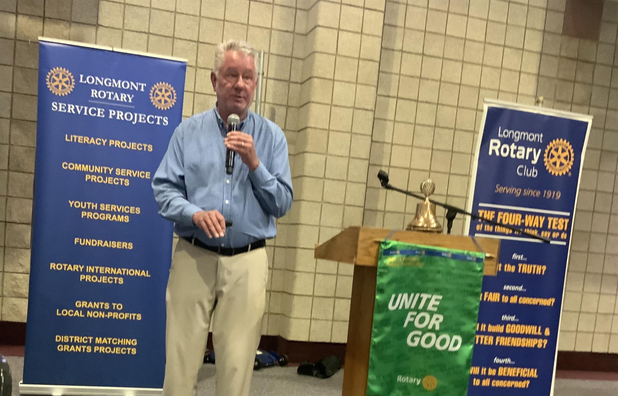
At our recent meeting, we welcomed Chuck Herring, co-founder of Longmont-based All Source Analysis, who shared fascinating insights into the $100 billion geospatial intelligence industry. Drawing on three decades of experience in satellite imagery, Herring explained how his company produces unclassified, shareable "finished intelligence" to solve complex problems for governments and commercial industries.
While the massive geospatial market is flooded with raw data, All Source Analysis differentiates itself by combining cutting-edge artificial intelligence with human expertise. Their global network of elite, highly trained analysts interprets high-resolution satellite imagery, synthetic aperture radar (SAR), mobility data, and open-source research to safely evaluate remote, dangerous, or inaccessible areas.
Herring detailed real-world use cases, demonstrating how his team successfully tracked illegal cross-border mining activity for the U.S. State Department and exposed supply-chain discrepancies for major financial institutions.