The Santa Rosa Southeast Greenway, by Katharine Anderson
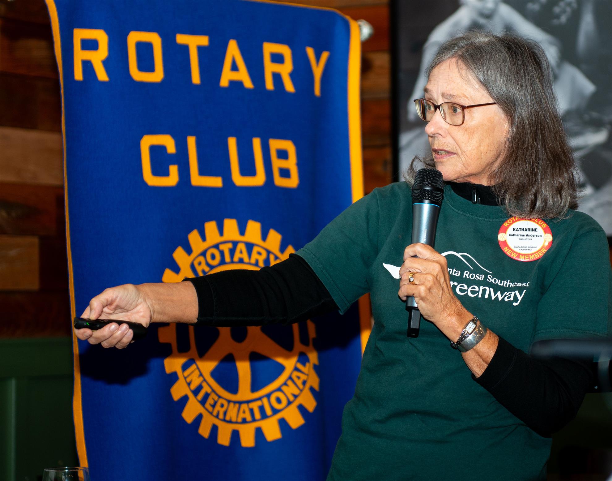
Our Speaker on May 30, 2024 was club member, Katharine Anderson. Katherine earned a master’s degree in architecture and landscape architecture from the University of Pennsylvania. She has more than 30 years of professional architecture experience. She also teaches at the School of Landscape Architecture at the Academy of Art in San Francisco. The subject of Katharine’s talk was Santa Rosa’s Southeast Greenway.
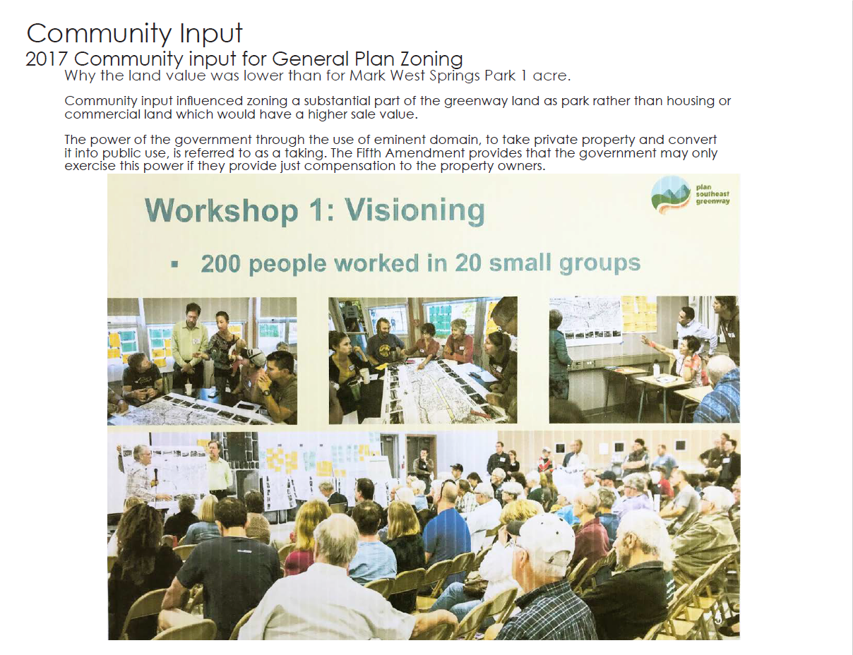
Last week Cal Trans agreed to sell the Southeast Greenway to the City of Santa Rosa for $1.86 million. The Greenway consists of 49 acres and is 100’ wide and 2 miles long. It starts at the corner of Farmers Lane and Highway 12 and runs near Hoen Avenue, across Summerfield Rd., and up to Spring Lake park. The original idea was to use it to continue Highway 12 to Spring Lake and build a bridge over the lake, but the Santa Rosa public helped convince Cal Trans to scrap that idea. The original path of the Highway 12 extension (the Greenway) has remained fallow ever since. The Greenway will eventually become Santa Rosa’s newest park. As a result of community visioning efforts, the Greenway will be zoned in large part as a park rather than housing or commercial land, resulting in the relatively low price of the Greenway in the sale to the City. The visioning included 200 people working in 20 small groups to determine the best uses of the Greenway. Once a Master Plan is developed, the Greenway is likely to be used for bicycle and pedestrian trails, open space and habitat, community gardens and gathering spots, recreation, education, public art, culture, and to address climate adaptation. Some of the Greenway may also be used to develop housing, most likely in the Highway 12/Farmers Land area, since that area is central to public services, shopping, and transportation.
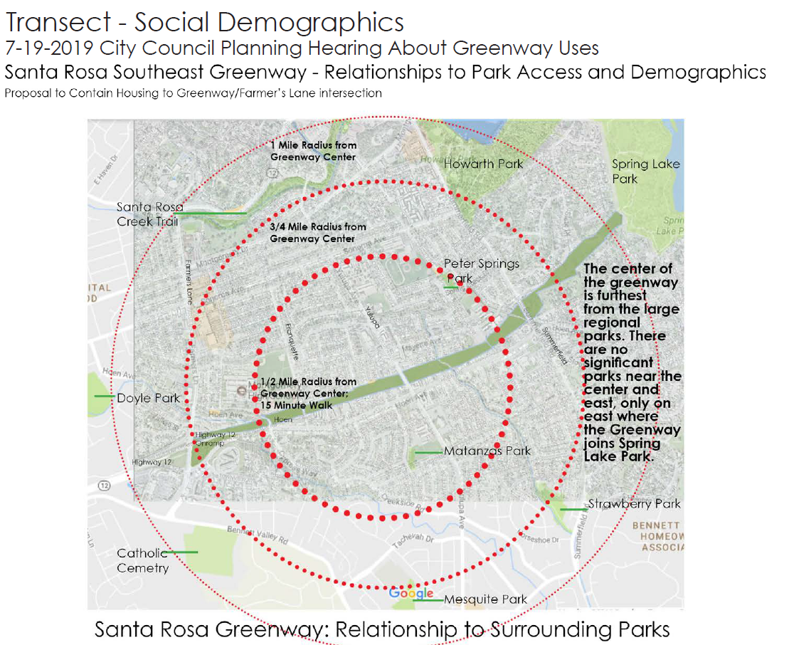
The Greenway will become an “urban park,” similar in some respects to the D.C. Mall, New York’s Central Park, and a major park in Toronto. It may also connect to the Bay Area Ridge Trail and even the proposed Taylor Mt. Park. Turning the Greenway into a park would also be very attractive to residents who live in its lower reaches, since those residents tend to have lower income, live in apartments, and live further from other parks than the residents further to the east along the Greenway. The residents to the east along the Greenway more frequently own their homes, live in less dense environments, and have greater access to parks, such as Spring Lake and Howarth. The Greenway is also a realistic slice of the ecology of Santa Rosa: going from the western end towards the eastern end, the land starts as lowland oak savannah and increases in elevation as it heads eastward, with ecological changes to mixed oak, riparian woodland, grassland, and marshes/wetlands on the eastern end.
The future of the Greenway will be determined by the Master Plan, which will likely take between 2 and 4 years to complete. The build-out will follow. The City will own and manage the park. Katharine says that there are plenty of volunteer opportunities with the Greenway campaign, including writers, advocates, social media experts, and fundraisers.
Thank you Katharine for all of your hard work in helping the Santa Rosa Southeast become a reality, and for giving us this comprehensive and thoughtful presentation!
Click HERE to see a limited-time recording of Katharine's presentation.