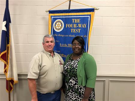
Jai McBride and Kevin Thompson discussed the City's GIS (Graphical Information System) mapping. Currently, you can go to the City's website to view maps of the flood plain, the water distribution system and city boundaries. There are plans to greatly expand the types of maps available to users in the near future.
Click here to go to the City's GIS Mapping webpage.
