
JR Canadian Mapping Ltd.
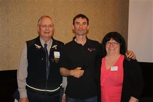
John Rankin, President of JR Canadian Mapping Ltd referred to as CANMAP in Prince George, was the guest speaker for the Nechako Rotary Club this morning.
CANMAP was established in Prince George in 2001 and became incorporated in 2009.
CANMAP is a combination of UAV and Photogrammetry.
So, what is UAV you ask? Good question. Most people would think that most of the aerial photography was still being conducted by high flying aircraft and space shuttles. Well, guess again.
UAV stands for "Unmanned Aerial Vehicle." In fact there are many earlier varieties of UAV and the one currently used by CANMAP is a small unmanned plane with a wing span only 2.1 metres wide and a weight of approximately 5 Kg. This unmanned plane looks much like a large bird when in flight, with a maximum ceiling flight of about 400 feet above ground. The UAV is equipped with a digital camera and video camera.
The digital camera can take 10 aerial pictures per second, and cover an area of approximately 1000 hectares, in a systematic flight plan, which provides very accurate aerial reconnaissance information, with flights of up to 90 minutes with the current battery capacity of the plane.
This information is all contained and managed through computer technology to provide valuable information in a few minutes of flight that used to take weeks of hard physical work and ground truthing by experienced professional field staff.
Wow, isn't technology great. So, when you think someone might be looking over your shoulder when you are out in the bush, the technology is there, so maybe you are on candid camera.
John was thanked for his very informative presentation by Rotarian Rachelle Delorey and President Brian Pearson.