
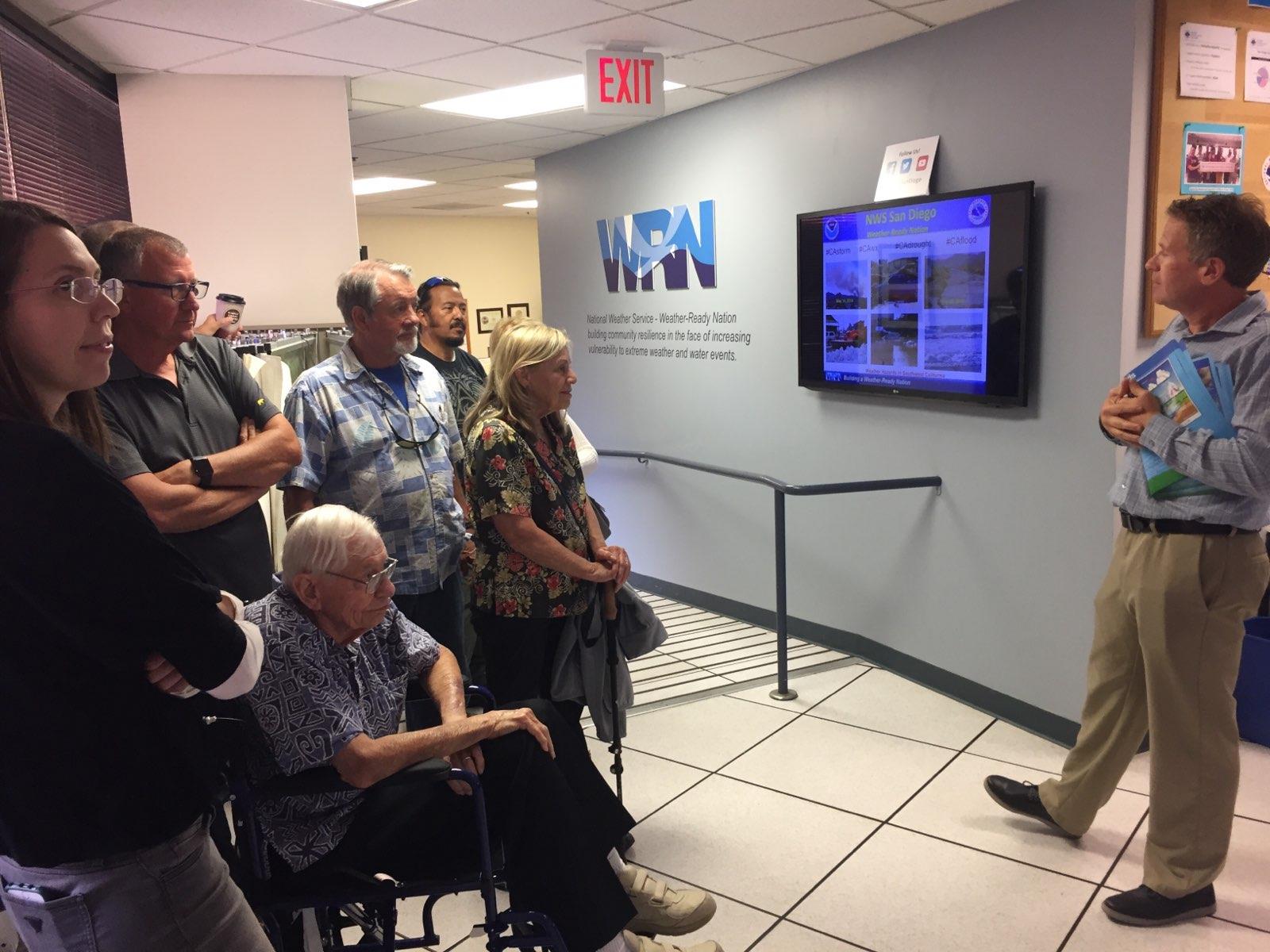
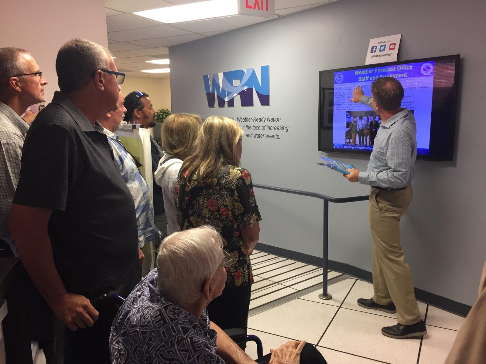
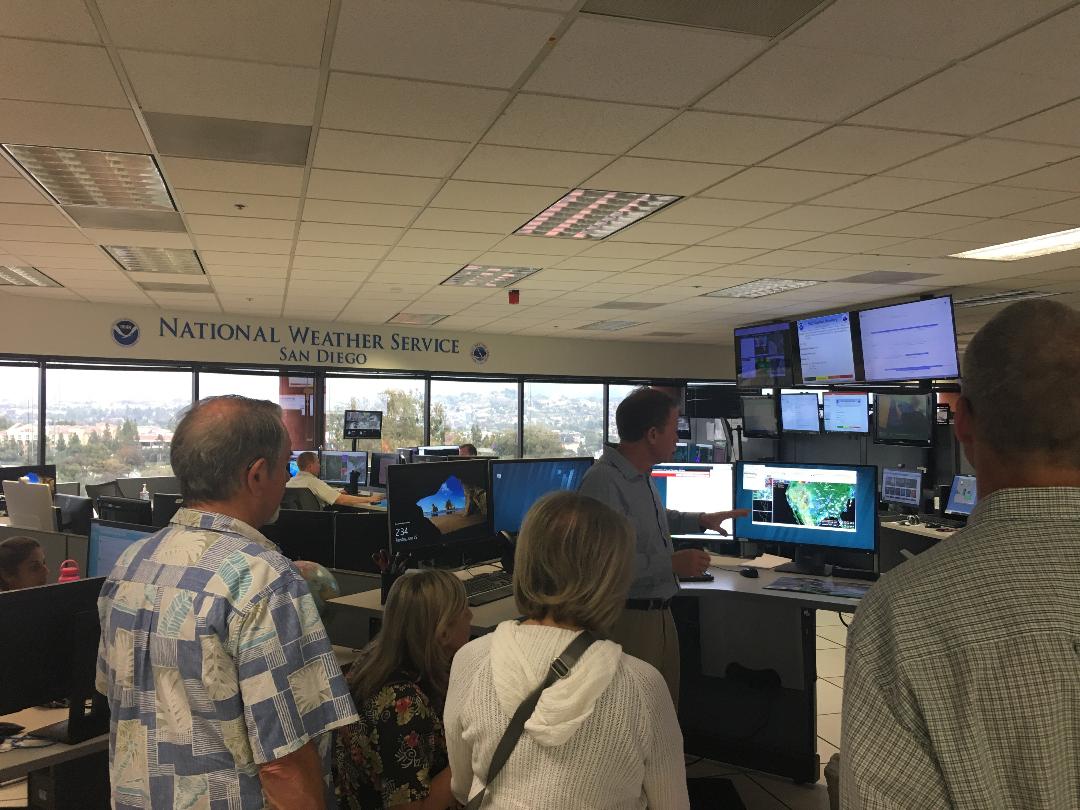
We visited the San Diego NOAA's Weather Service which provides weather notification, all weather related notifications including tsunami.
NOAA is a 24/7 operated facility, because they provide weather notification (all weather related notifications including tsunami but they don’t do earthquake notification)
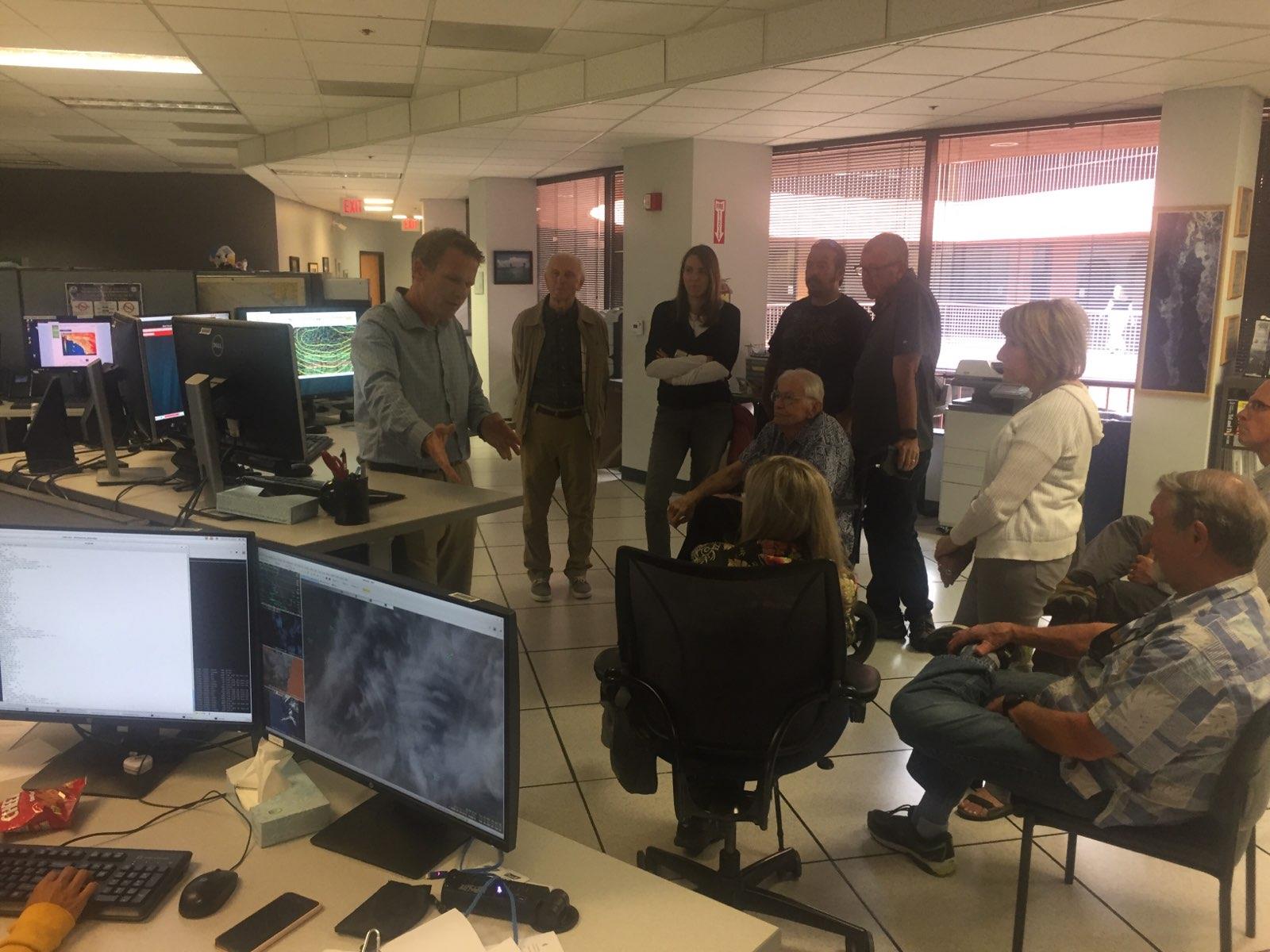
They own and operate 156 radars throughout the country to get the weather locally in real-time (data are refreshed every 5 min). Radar is a tool for short scale forecast. They are ground based radars.
NOAA monitor all of this through a data intensive process and put all of this into motion to visualize how it evolves.
They also use two geostationary satellites + post orbiting satellites. They provide more data with a resolution down to 1 km for geostationary satellites and down to 250 meters for polar orbiting satellites (and yes they use a metric system as well as GMT-0 to refer to the time)
This helps provide longer-term forecast (10-15 days).
They use different algorithm models. They develop their own but they compare with several other models, including one in Europe to see how they differ.
NOAA recently updated their software due to the fact that NOAA’s prediction for Sandy hurricane did not match what happened while the European model did predict it with more accuracy. (Niels has an article on that as well) and we discussed it with the meteorologist that gave us the tour.
NOAA does not work on climate change but follow the weather and thus had to also deal with more extreme weather patterns. We will hear more about this during an upcoming presentation in October. (TBD)
 |  |  |
 |  |  |